Languages:

This site is created using Wikimapia data. Wikimapia is an open-content collaborative map project contributed by volunteers around the world. It contains information about 32058693 places and counting. Learn more about Wikimapia and cityguides.

Willemstad

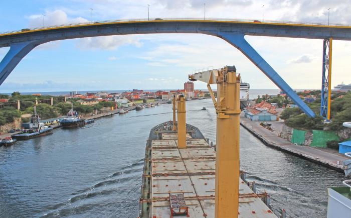
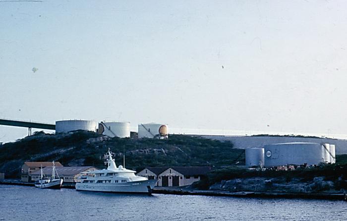
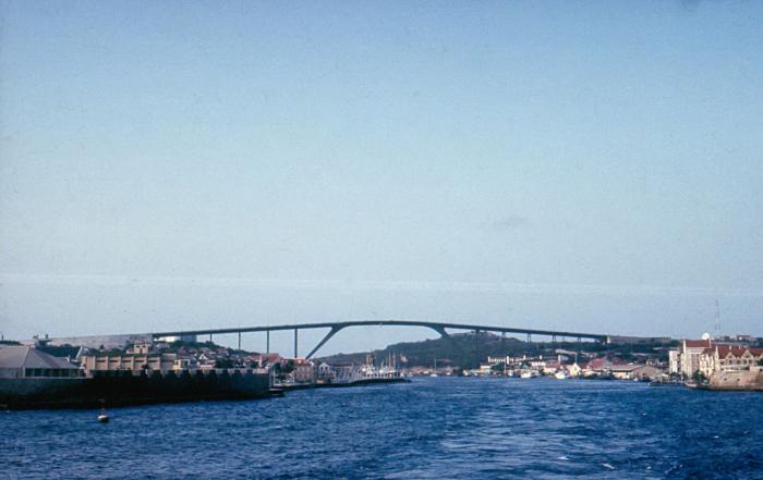
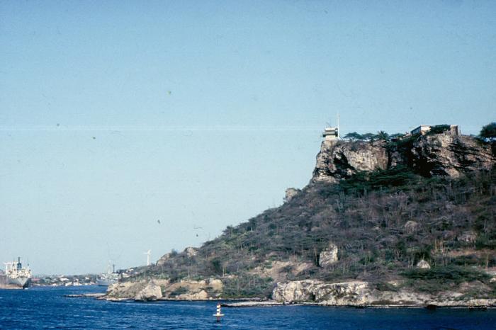
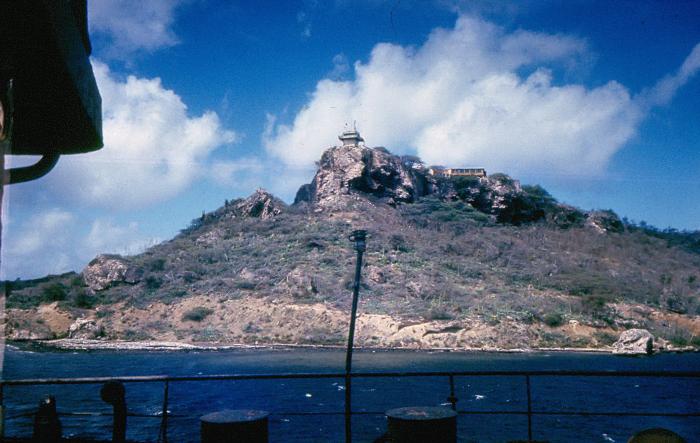
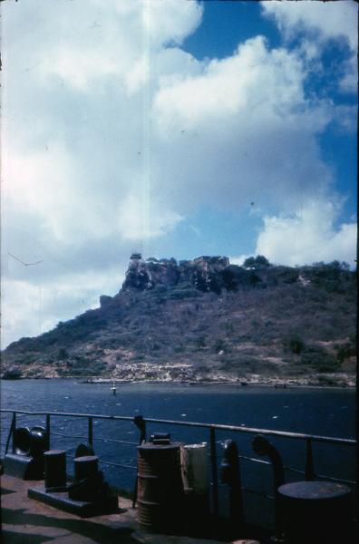
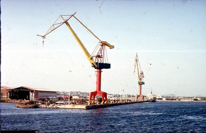
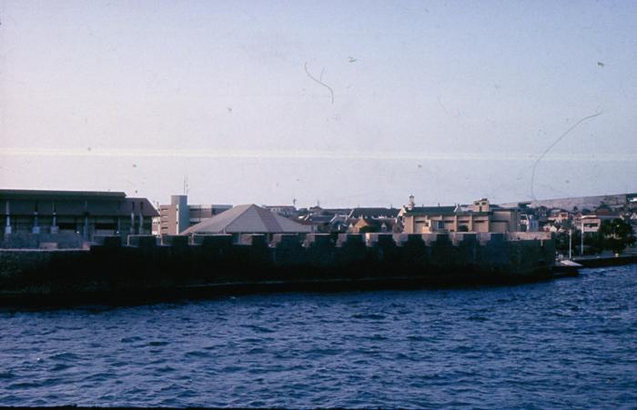
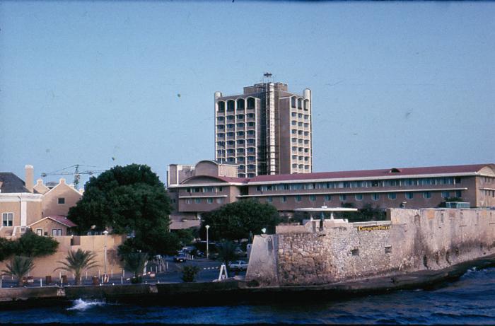
Willemstad is the territorial capital of Curaçao. It was part of the Netherlands Antilles, until it was dissolved in October 2010. .Coordinates: 12°7′N 68°56′W / 12.117°N 68.933°W /, on the island of Curaçao, it has an estimated population of 125,000. The historic centre of the city consists of two quarters: Punda and Otrobanda. They are separated by the St. Anna bay, an inlet that leads into the large natural harbour called the 'Schottegat'.

Recent city comments:

  • Post Office Punda, Marnix A. van Ammers (guest) wrote 1 year ago:
    Completed in 1952 or 1953. Architect was Antonie Abraham van Ammers, 1908-12-18 to 1990-10-17.
  • Sacred Heart of Jesus Catholic Church, René Thein (guest) wrote 9 years ago:
    As my wife and I don't understand the informtions written in Papiementu at the entrance of the Church (we speak Dutch and French) we would like to know the times of the holy mass from Monday to Friday, on Saturday and on Sunday. Unfortunately we could'nt reach by phone a person of the parish office. May be you could indicate us the times at our email address: renethein@gmail.com Thank you very much in advance. Kind regards, René Thein
  • Sacred Heart of Jesus Catholic Church, Rose (guest) wrote 10 years ago:
    It would be very helpful to post Sat. & Sun. mass times here.
  • Abraham Mendez Chumaceiro Blvd, (guest) wrote 10 years ago:
    This is a great web site because I love to solve puzzles. cheap beats by dre studio http://cheapbeatsbydrestudio1.tumblr.com/
  • Freezone Curacao, joy (guest) wrote 10 years ago:
    can i get the exact location of the free zone , i want to visit this month how close is it to the airport and names of the street close by?
more comments...
Willemstad on the map.

Recent city photos:

more photos...